


What Is the Uttar Pradesh Master Plan 2031?
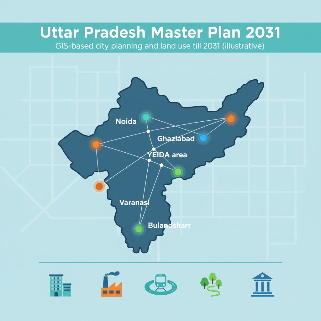
Uttar Pradesh Master Plan 2031 is a set of GIS‑based city master plans that guide how key urban regions like Ghaziabad, Noida, YEIDA, Bulandshahr, Varanasi, Aligarh and others will use land, build infrastructure and manage growth up to the year 2031. These plans focus on transit‑oriented development, vertical growth, industrial clusters, green areas and regulated expansion to make cities more liveable and investment‑friendly.
Rather than one single map for the whole state, “Uttar Pradesh Master Plan 2031” refers to a series of city‑level and regional master plans prepared by development authorities under the Town and Country Planning Department. Each plan defines how land will be used for residential, commercial, industrial, institutional, recreational and transport purposes in its notified area, along with building norms and population projections.
These plans are now increasingly GIS‑based, meaning land use, roads, utilities and environment layers are mapped digitally for better accuracy and easier updates. For real estate, this provides a clear long‑term roadmap: which locations can host group housing, which are reserved for industry or logistics, and where major new roads or transit corridors are planned.
Key Objectives of Master Plan 2031
Across different cities and authorities in Uttar Pradesh, the broad goals of Master Plan 2031 remain similar.
- Control haphazard growth by clearly zoning land use and development density.
- Promote transit‑oriented development (TOD) around expressways, metro and RRTS to reduce congestion and support mixed‑use, walkable neighbourhoods.
- Allocate sufficient land for housing, industry, green spaces and public facilities in line with projected population for 2031.
- Support economic growth by creating special development areas, industrial corridors and logistics hubs, especially around NCR and major highways.
For investors and developers, aligning projects with these objectives helps in faster approvals and stronger long‑term demand.
Example: Ghaziabad Master Plan 2031
Ghaziabad is a flagship example of the UP Master Plan 2031 approach, recently approved as an integrated GIS‑based plan for Ghaziabad, Loni and Modinagar/Muradnagar. The plan increases the planned development area to about 32,017–33,543 hectares, targeting a population of around 64–65 lakh by 2031.
Land use allocations in this plan illustrate how space is distributed:
- Residential: about 12,869 hectares
- Commercial: around 744 hectares
- Industrial: approx. 3,531 hectares
- Mixed‑use: about 553 hectares
- Recreational/green: about 6,032 hectares
- Transport and related uses: roughly 4,121 hectares
Special Development Areas have also been proposed in locations like Guldhar and Duhai, with higher FAR to encourage vertical growth around the Delhi–Meerut RRTS and expressways. This creates clear opportunities for TOD‑style real estate near high‑speed connectivity.
Example: Noida Master Plan 2031
Noida Master Plan 2031 covers a large notified area originally around 70,000 hectares and provides a framework for regulating building activity and sector‑wise land use in the city. The plan emphasises a balanced mix of IT/ITES, industry, residential sectors, commercial belts and institutional zones, supported by wide roads and metro connectivity.
Over time, land use modifications – such as converting some earlier SEZ‑earmarked land into mixed residential, institutional and commercial uses – have been incorporated through Master Plan 2031 amendments. For buyers and brokers, checking the latest Noida land‑use map is critical, as sector‑wise tags decide whether a parcel can host plotted housing, group housing, commercial complexes or institutions.
YEIDA and Regional 2031 Plans
The Yamuna Expressway Industrial Development Authority (YEIDA) follows its own perspective and Master Plan 2031 covering notified areas across six districts including Gautam Budh Nagar, Agra, Mathura, Aligarh and Hathras. Phase I focuses on about 759 sq km near the expressway in Gautam Budh Nagar and Bulandshahr, while Phase II extends urbanisation over roughly 2,593 sq km into the other four districts.
Under Master Plan 2031 Phase‑2, new urban centres like Raya (Mathura) and Tappal–Bajna (Aligarh) have been notified to capture growth from Jewar International Airport and the expressway corridor. This opens future corridors for townships, logistics parks, tourism projects and industrial clusters that tie directly into airport‑driven demand.
Other City‑Level 2031 Master Plans
Beyond NCR, several key cities in Uttar Pradesh have or are updating Master Plan 2031 documents.
- Bulandshahr Master Plan 2031 outlines expansion of housing, workplaces and roads, with a focus on balanced growth and better amenities for a growing semi‑urban population.
- Varanasi Master Plan 2031 defines heritage‑sensitive zoning, riverfront controls, transport improvements and regulated expansion in the wider Varanasi–Ramnagar belt.
- GIS‑based master plans have also been prepared or updated for places like Aligarh, Bulandshahr district and Lalitpur, using modern spatial tools to map land use and infrastructure.
Together, these master plans ensure that as UP urbanises, each city grows in a structured, infrastructure‑backed manner instead of random ribbon development along highways.
How Land Use Is Structured
While figures vary by city, Master Plan 2031 documents generally follow a similar structure for land‑use categories.
Common components include:
- Residential zones for plotted colonies, group housing and EWS/LIG housing.
- Commercial zones for retail, offices, mixed‑use high streets and city‑level business districts.
- Industrial zones, logistics parks and warehousing to boost employment.
- Public/semi‑public and institutional land for schools, colleges, hospitals and government facilities.
- Recreational and green areas including parks, stadiums and ecological buffers.
- Transport and utilities such as roads, bus depots, metro or RRTS corridors and utility installations.
The Ghaziabad Master Plan 2031 land‑use split noted earlier gives a good benchmark of how much land is typically earmarked for each use, especially in fast‑growing NCR cities.
Why Master Plan 2031 Matters for Real Estate
For developers, investors and brokers, understanding Master Plan 2031 is as important as understanding circle rates or RERA approvals.
- It tells you what you can legally build on a plot – for example, whether a parcel is marked for residential, commercial, industrial or mixed use.
- It helps forecast future demand by showing where new expressways, metro lines, TOD zones, industrial corridors and townships will come up by 2031.
- It reduces regulatory risk, because buying in alignment with notified land use and density norms means fewer change‑of‑land‑use hurdles later.
For a real‑estate business centred around Noida, Greater Noida, YEIDA and emerging belts, positioning content and advisory around “Master Plan 2031 insights” can strongly differentiate your brand as a knowledgeable, planning‑driven consultant.